
Citizen Science Earth Observation Lab (CSEOL) Bootcamp


Esrin-ESA hosted the CSEOL Bootcamp and Pitch Day from 9–11 July 2019. The bootcamp, organised by the ESA-funded Citizen Science Earth Observation Lab (cseol.eu), prepared nine innovative teams from Europe and beyond on the topic of Earth Observation and Citizen Science. The overall objective of the Citizen Science Earth Observation Lab (CSEOL) project is to generate, implement and validate a methodology to continuously feed new Citizen Science projects and ideas, engaging with a wide community of users of EO data and providers of information to foster the use of EO.
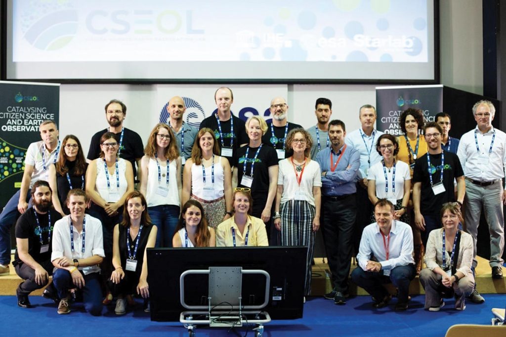
About 30 participants worked in teams to shape their proposed projects, guided by Citizen Science and Remote Sensing experts offering one-to-one on-demand clinics for each team in the two-days bootcamp.
During the Pitch Day, the nine projects teams delivered their pitch to a high-level judging panel for competitive funding. The winning CSEOL ideas were announced in the closing ceremony of 11 July.
CSEOL’s Innovation methodology was based on three key phases – Ideation, Greenhouse and Implementation. The CSEOL bootcamp and Pitch day take place in the final part of the Greenhouse phase. Pilot projects selected and awarded during the Pitch day progress to the Implementation Phase, in which innovative ideas are developed and brought to concrete projects. The proposed projects entering the Implementation Phase to continue their experience in the CSEOL project were:
1. Phenotandem: Harmonised phenology products from optical satellite and citizen science observations. This project aims to create new phenology data combining in-situ observations and remote sensing products such as those provided by Sentinel-2. It will increase data quality for phenology at scale that has not been done before. The PhenoTandem team also participated in the Copernicus Roadshow and presented PhenoTandem in television programs in Spain.
2. IceWatchApp: A mobile phone application for sea ice observations. This project developed a data collection functionality, including attachment of photos from mobile devices, of its app for use by citizen scientists to map sea ice. These photographs will enhance satellite data from the Copernicus Sentinels and other missions where the lack of data from the Polar Regions hinders the development of automatic classification products. The IceWatch was the runner-up in the Nansen Poster Award, at the Arctic Frontiers Conference.
3. Schools and satellites (SaS): a reliable rainfall product for West Africa. This pilot project focused on the acquisition of ground and satellite data and interacted with citizen scientists on how to improve data collection as well as how to build the rain gauge from plastic bottles. It combined citizen science-based monitoring and a new satellite rainfall product which will use diverse sensors onboard Sentinel satellites. SaS also launched an initiative to collect smartphones that will be re-used by citizen scientists in Ghana.
4. Sentinel Citizen: setting foundations for atmospheric commons. The Sentinel Citizen pilot project contributes to enhancing air pollution forecasts through EO data in local communities in North Holland, with which they can influence policymakers to develop policy-oriented actions. For validation, data from the TROPOMI instrument and from the CAMS will be used. Sentinel Citizen delivered a project web page, presented the Sentinel Citizen project at different events and organised a workshop in the Netherlands.
5. MySnowMaps: Dynamic mapping of snow conditions. This pilot project displays convenient information in the form of maps of snow depth over large areas. It uses an innovative technology mixing physical models and satellite data and shares snow data for monitoring the water resources and improves the consciousness of the users. MySnowMaps has already developed the Android version of the MySnowMaps app which is now available in the Google Play Store. The team also organised a prize contest for engaging the citizen scientist community. MySnowMaps was featured on the Italian national television (RAI), a programme dedicated to innovation.